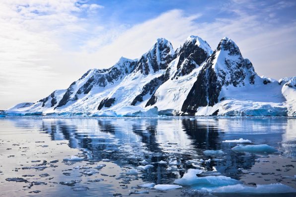
A Continental Land Mass Of Mountains, Canyons, And Volcanoes Lies Beneath Antarctica’s Ice, Where They’ve Been Entombed For Millions Of Years

Beneath the thick sheet of ice in Antarctica, there is a continental landmass of mountains, canyons, and volcanoes that have been entombed for millions of years.
A team of scientists from 19 research institutes around the world, including the University of California Irvine, the National Science Foundation, the British Antarctic Survey, NASA, and the National Natural Science Foundation of China, were able to produce a map that portrayed the bedrock with accuracy.
The analysis of radar surveys and satellite data dating back to 1967 led to the creation of BedMachine, one of the most comprehensive maps of Antarctica’s topography in the world. The map has helped scientists identify which parts of the continent will be the most and least vulnerable to future climate change.
Previously, mapping methods of Antarctica relied on radar soundings. Generally, they have been effective, but they still have their limitations. Radar sounding works through systems emitting a signal that penetrates the ice.
At the point where the ice meets solid ground, the signal bounces back. Then, scientists use techniques to fill in the areas the radar maps out. However, the approach has proven to be not entirely accurate, especially with fast-moving glaciers.
BedMachine uses X-ray specs to look through the ice and the method of mass conservation to estimate what lies underneath it. The map bases its results on ice surface velocity and data on ice thickness from radar soundings. Therefore, a clearer depiction of the topography can be generated.
In recent years, the methodology has been utilized in Greenland with success. Due to the size and remoteness of Antarctica, it is a challenge to employ the technique, but it certainly is worth the trouble.
Some of the most surprising results of the BedMachine project were the true scale of the canyon below Denman Glacier and the fact that there were stabilizing ridges that protect the ice in the Transantarctic Mountains. Denman Glacier is about 11,500 feet below sea level, and it is the deepest point on Earth.
“Older maps suggested a shallower canyon, but that wasn’t possible; something was missing. With conservation of mass, by combining existing radar survey and ice motion data, we know how much ice flows through the canyon—which, by our calculations, reaches 3,500 meters below sea level, the deepest point on land,” said Mathieu Morlighem, associate professor at the University of California Irvine.

Goinyk – stock.adobe.com – illustrative purposes only
He added that since the canyon was relatively narrow, it had to be extremely deep in order for that much ice mass to reach the coast.
Over 97 percent of Antarctica is covered in ice. However, another lesser-known geographical feature of the continent is its volcanoes. In West Antarctica alone, 138 volcanoes were identified. A few of them are considered active.
Hopefully, in the future, bed topography mapping will become even more precise so we can better understand all of Antarctica’s land features!
Sign up for Chip Chick’s newsletter and get stories like this delivered to your inbox.
More About:News